
Source :United Nations News
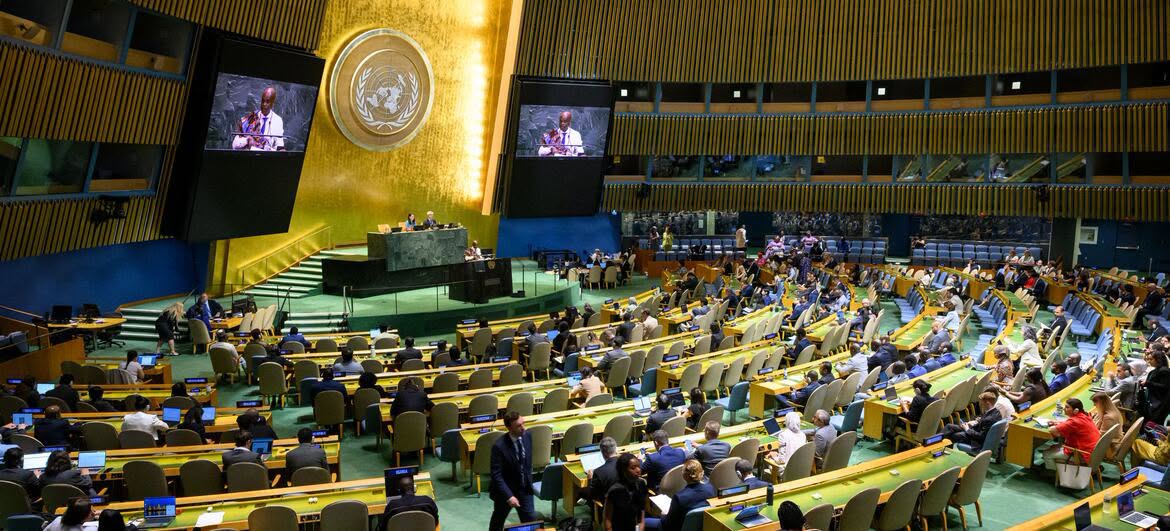
New York – September 2026 – The United Nations General Assembly has voted overwhelmingly in favour of encouraging governments, schools, and technology companies around the world to adopt map projections that more accurately represent the true size of continents, particularly Africa.
By a vote of 164 in favour to one against, Member States endorsed a resolution supporting the use of map projections that provide a more accurate representation of the relative size of continents and countries.
The resolution marks a significant milestone in an African-led campaign challenging the continued widespread use of the Mercator projection, a 16th-century mapping system that has long been criticised for significantly distorting the size of landmasses as they move farther from the equator.
Under the Mercator projection, countries and regions in higher latitudes can appear considerably larger than they are in reality, while areas closer to the equator—including much of Africa—can appear disproportionately smaller.
The overwhelming vote reflects growing international recognition that the way the world is visually represented can influence how people, particularly young learners, perceive the size, significance, and geographical relationships of different regions.
African governments have increasingly highlighted the issue, arguing that greater use of geographically accurate map projections would help provide a more balanced understanding of the world and correct longstanding visual distortions.
The resolution encourages governments, educational institutions, and technology companies to consider adopting alternative map projections that better reflect the actual proportions of continents and countries.
The initiative also underscores the broader importance of representation and accuracy in education and technology, particularly as digital maps increasingly shape how people around the world understand geography.
The United Nations General Assembly’s vote represents a major step forward for advocates seeking to promote more geographically accurate representations of Africa and the wider world.