Caribbean Development Bank
Press Release
ST. MICHAEL (CDB) — Through Technical Assistance from the Caribbean Development Bank (CDB), 21 representatives from 13 CDB borrowing member countries were among a group of professionals educated on the use of Geographic Information Systems (GIS), gaining knowledge that is intended to contribute to the increased application of Geospatial Information Management to public sector decision-making, including on matters of climate change mitigation and adaptation, and disaster risk management.
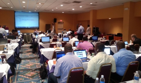
The group recently benefitted from a two-day Regional workshop hosted by the Urban and Regional Information Systems Association (URISA) Caribbean Chapter on Open Source Technologies and Web mapping in St. Maarten from February 12 – 14, 2014. Highlights of the event were the High Level Regional Meeting on the establishment of the Regional Spatial Data Infrastructure, a discussion on the GIS return on investment, and a session on modern cartography through the application of web mapping, open source and service-oriented mapping technologies. In addition to GIS specialists, participants represented agencies with various responsibilities, including physical planning, land management, environmental management, and public works. The Bank was represented at the High Level Meeting by Mr. Andrew Dupigny, Division Chief, Economic Infrastructure Division (EID) and Mr. Alexander Augustine, Operations Officer (Analyst), EID.
Mr. Dupigny, in his address to the High Level Meeting, noted, “Geographic information is a critical element in decision making for many sectors both in CDB’s borrowing member countries and the Region as a whole. It is a vital tool in planning and addressing national development issues such as comprehensive disaster management, climate change, utilities, infrastructure and other economic planning. It also assists with gaining a better understanding of the social issues confronting us, such as citizen security and the efficient allocation of education resources.”
He added, “Information communication technologies are ‘demonstrated enablers’ of the development process and are central to the reduction of poverty, which is the core mission of CDB. We expect the increased awareness, skills and knowledge about GIS and its current capabilities gained by participants through the workshop will lead to more informed, efficient and effective decision-making across multiple sectors in those countries.”
The participating CDB borrowing member countries were: Anguilla, Antigua and Barbuda, the Bahamas, Barbados, Grenada, Guyana, Haiti, Jamaica, Montserrat, St. Kitts and Nevis, St. Lucia, Trinidad and Tobago, and Turks and Caicos Islands. Several GIS professionals from the host country also participated in the workshop.