Stu Ostro and Michael Lowry, Meteorologists, The Weather Channel Sep 4, 2013 6
– Atlantic: Watching Invest 97-L in eastern Caribbean
– Eastern Pacific: Monitoring a disturbance near the coast of Mexico
– Western Pacific: The center of Tropical Storm Toraji is approaching southern Japan
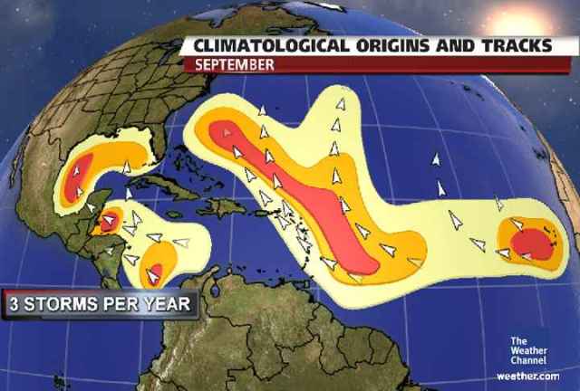
ATLANTIC
The disturbances which come from east to west across Africa are not looking very impressive and then are not developing when they reach the Atlantic. Some model runs keep trying to crank them up, and maybe eventually one of them finally will become a hurricane, but not yet, and there is no indication of when one might make it all the way across to North America or even the Caribbean.
Invest 97-L is displaying a respectable amount of spin on shortwave and microwave satellite pictures southeast of Puerto Rico. A favorable upper high is positioned over 97-L and thunderstorms are once again refiring over the system.
Conditions ahead will stay conducive for organization with the only immediate impediment being interaction with Puerto Rico and the Dominican Republic late Wednesday into Thursday.
Regardless of development, 97-L will bring very heavy rainfall through the Greater Antilles. NWS San Juan has issued a flood watch from Wednesday morning through Friday for all of Puerto Rico and the U.S. Virgin Islands in anticipation of rainfall totals of up to 10 inches.
Flash flooding will also be a concern across the Dominican Republic and Haiti. 97-L’s future beyond Thursday will depend on its stage of development and location, but it should begin to swim northward thanks to a dip in the jet stream off the east coast.
An Air Force Hurricane Hunter aircraft and NASA Global Hawk drone complete with dropsondes are scheduled to investigate Wednesday if necessary.
The “ACE” that we’ve been talking about (Accumulated Cyclone Energy, a measure of strength and longevity as well as number of tropical depressions, storms and hurricanes), which was 1/2 of average-to-date for thus far in the season and then 1/3, is now less than 1/4 … as there is still no additional cyclone energy to measure since there aren’t any cyclones, while the average continues to rise rapidly, thus the increasingly big departure below the long-term average.
EASTERN PACIFIC
A system just offshore of Mexico is being monitored for development. Models differ as to whether its moisture will eventually come up into the southwest U.S. like Ivo’s did.
WESTERN PACIFIC
Toraji is moving over southern Japan with wind and rain. The clouds streaming northeast from it are indicative of the jet stream it is interacting with as it transitions to a non-tropical system.